Cycling your first EuroVelo route: tips for beginners
You see lovely pictures of people on cycling trips all across Europe. You are also wondering how they are doing that and have no idea where to start. We got you covered!
While ECF and National EuroVelo Coordination Centers and Coordinators (NECC/Cs) make every effort to ensure the tracks and their levels of development are both current and accurate, errors or outdated information can occur. The user is fully responsible for his or her own safety when making use of the tracks and for following national traffic rules and signing. Please download and read the complete disclaimer before using the tracks.
The North Sea Cycle Route will surprise you with its diversity. Although bordering the same sea it goes from land located below sea level (in the Netherlands) to cliffs of 300 meters in height (Norway). You can sample wee drams in Scotland; pedal along the well maintained cycle paths of Denmark; dance the night away in millennial port cities such as Gothenburg or Hamburg; or stretch out on the inviting beaches of the Netherlands. Expect to be pleasantly surprised along this popular bicycle route which is about 7,050 km long.
And don’t forget to check the ferry timetables! They are a staple in Norway to cross the numerous fjords. If you follow the whole route, you will take the ferry between Halmstad (Sweden) and Grenå (Denmark). You can also take a shortcut with the ferry running from Gothenburg to Frederikshavn or one connecting Norway to Denmark. To cross the Channel, you take the Eurostar or the ferry connecting Calais in France to Dover in the United Kingdom. EuroVelo 12 is ending in the Orkney Islands and the Shetland Islands. From the mainland to Orkney, there are ferries connecting John o' Groats to Burwick and another from Thurso to Stromness. To reach the Shetland Islands, you need to take the ferry connecting Kirkwall and Lerwick. Be careful: some ferries are only running during summer.
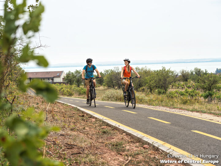
You see lovely pictures of people on cycling trips all across Europe. You are also wondering how they are doing that and have no idea where to start. We got you covered!
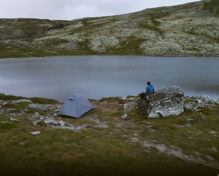
Rohan Daniel takes us along on his epic 5,000+ km adventure from the highlands of Spain to Northern Europe's highest peak, marking the closing of a life chapter for him. He weathered mental and climactic challenges, and grew as a person in the process. Accompanying this article is a feature-length …
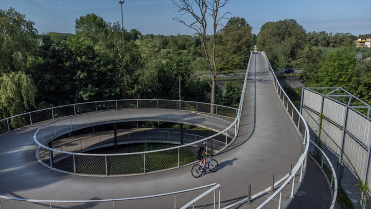
Are you planning to attend Velo-city 2024 in Ghent and wondering how to get there? The obvious choice would, of course, be the bicycle.
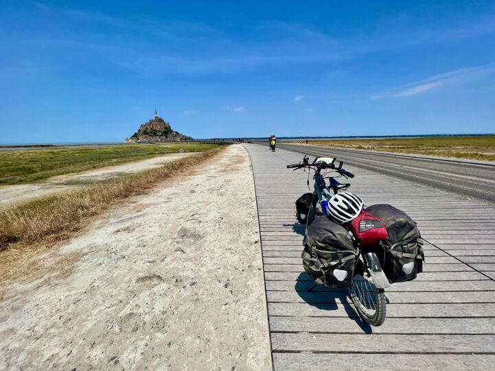
‘Mr Cycling Europe’ Andrew P. Sykes is a reference for English-speaking cycling tourism fans – and a great connoisseur of EuroVelo routes, too. In the summer of 2022, he went on a Grand Tour from Hook of Holland and back, following no less than four EuroVelo Routes. Join Andrew on his adventure.
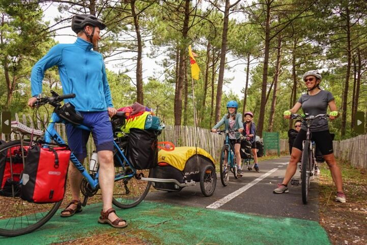
You dreamt of it and we did, too – here is the brand-new EuroVelo Route Planner to help you organise your future cycling trips along EuroVelo routes.
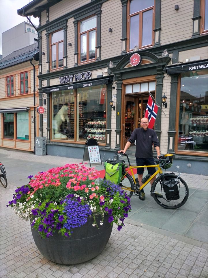
Fabian Küster, ECF Advocacy and EU Affairs Director, took a long break last year to rest, disconnect and reconnect. With free time ahead and such a purpose in mind, Fabian planned a one-month long-distance cycle adventure all the way to Tromsø in the Arctic Circle to check “cycling under the midnig…
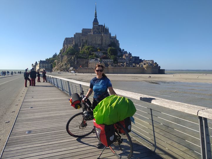
Silvia J. Gonzales is a 52-year-old from Alicante, Spain, who embarked on a 90-day journey across Europe on EuroVelo routes. Silvia decided to tick off a few European cities from her ‘Want to go’ list biking there over the summer. She tells us more about her trip below.
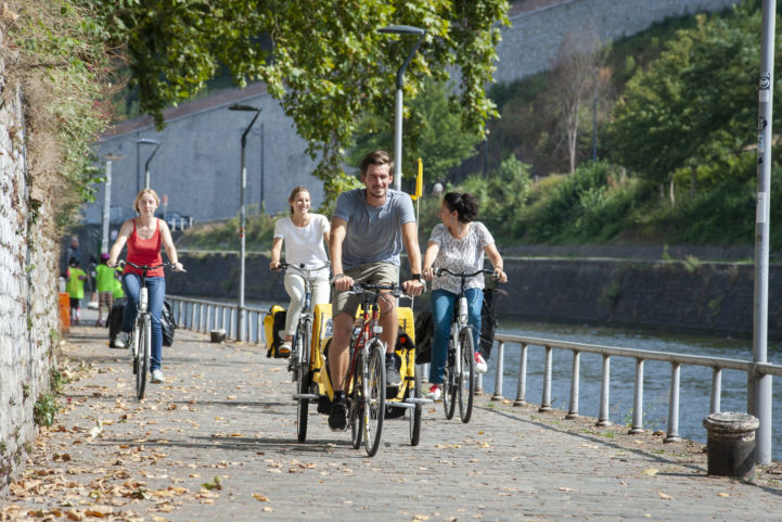
Good news has reached us from the National EuroVelo Coordination Centre for Belgium, Pro Velo. The updated website is now finalised, showcasing all five EuroVelo routes passing through the three Belgian Regions. For the first time ever information on all routes is available in one place, on the web…
This cycling guide describes a 610 km long route from the border with Belgium at Cadzand-Bad until Bad Nieuweschans. It contains double-sided maps and a compact guide with inspiration, sights and information about the LF Kustroute.

DenmarkByBike is the Danish national webpage for planning a cycle tour in Denmark. It includes information on official cycling routes and can also be used as a cycle route planner.
This official ADFC regional map from BVA Verlag presents the Schleswig-Holstein North Sea coast (EuroVelo 12). Printed on waterproof and tear-resistant paper at a scale of 1:75,000.
This cycling guide describes EuroVelo 12 in the Netherlands up to Rotterdam (527 km). The perfect tool before and during your journey: precise and informative maps, 1:50,000 scale, elevation and distance profiles, GPS tracks, accommodation and service directory. Can be used even without any knowledge of German. English translation of the map legend and the user manual of the guide available at esterbauer.com/international.
This cycling guide describes EuroVelo 12 in Germany between Hamburg and Bad Nieuweschans (564 km). The perfect tool before and during your journey: precise and informative maps, 1:50,000 scale, elevation and distance profiles, GPS tracks, accommodation and service directory. Can be used even without any knowledge of German. English translation of the map legend and the user manual of the guide available at esterbauer.com/international.
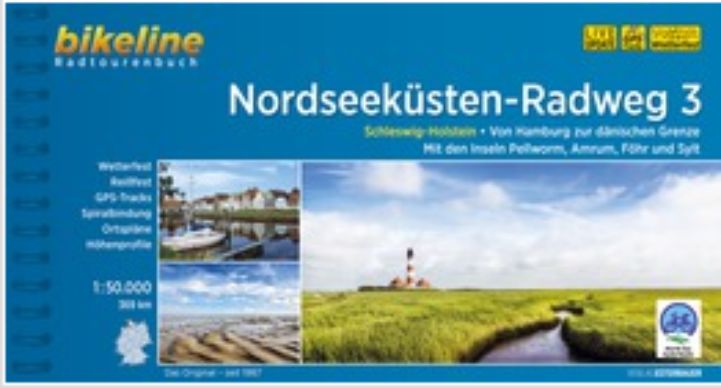
This cycling guide describes EuroVelo 12 in Germany up to Hamburg (368 km). The perfect tool before and during your journey: precise and informative maps, 1:50,000 scale, elevation and distance profiles, GPS tracks, accommodation and service directory. Can be used even without any knowledge of German. English translation of the map legend and the user manual of the guide available at esterbauer.com/international.
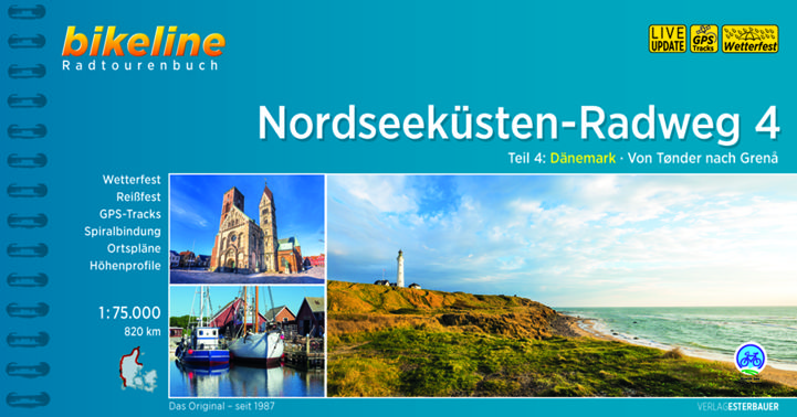
This cycling guide describes EuroVelo 12 in Denmark (820 km). The perfect tool before and during your journey: precise and informative maps, 1:75,000 scale, elevation and distance profiles, GPS tracks, accommodation and service directory. Can be used even without any knowledge of German. English translation of the map legend and the user manual of the guide available at esterbauer.com/international.
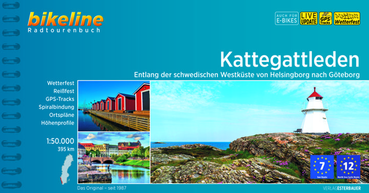
This cycling guide describes the Swedish section of EuroVelo 7 and EuroVelo 12 in Sweden between Gothenburg (Göteborg) and Helsingborg (390 km). The perfect tool to guide you during your journey preparation and on the road: precise and informative maps at a scale of 1:50,000, elevation and distance profiles, GPS tracks, accommodation and services, LiveUpdate, spiral-bound, laminated and tearproof. English translation of the map legend and the user's manual at esterbauer.com/international.

No other national route in Denmark contains contrasts as great as the West Coast Route. To the south: rich, flat marshland. To the north: steep and dramatic sand dunes. The West Coast Route is the story of man and sea. A 560-kilometre-long story about life on nature's terms.